
It’s Geoscience for Everyone Day! Today, we focus on encouraging everyone, including minorities, people of all gender orientations, and those with a range of abilities to study geosciences!
Over the past few years, multiple publications and scientific websites have examined the issue of physical accessibility in the geoscience profession. Multiple disciplines under the geoscience umbrella require people to conduct field work in rough terrain, which is not always easy for those with limited mobility. Additionally, many undergraduate courses in geology have a field trip component that requires students to travel to remote exposures and hike over rough terrain.
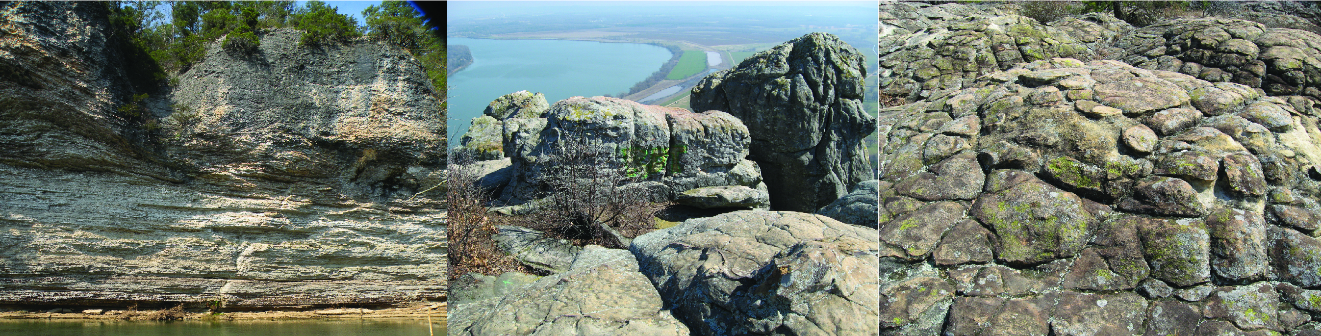
Although much work still needs to be done, paved trails and technology have allowed students and geoscientists with limited physical mobility to participate in data collection and field observation. For those interested in designing accessible field experiences in Arkansas, the Office of the State Geologist has three State Park Series publications available: Crater of Diamonds State Park, Hobbs State Park, and Petit Jean State Park. All three parks offer accessible facilities and/or trails. This includes the Little Missouri River trail in Crater of Diamonds, the Cedar Falls Overlook trail in Petit Jean, and the Ozark Plateau and Historic Van Winkle Trails in Hobbs State Park-Conservation Area. The Hobbs State Park publication even has geologic trail maps available. These publications can be accessed on our website: https://www.geology.arkansas.gov/publication/state-park-series.html
For additional information, please see the following resources regarding physical accessibility in geoscience:
https://theiagd.org/ – The International Association for Geoscience Diversity
https://sites.google.com/ufl.edu/geospace-field-program – An accessible field course for students at the University of Florida
https://rock.geosociety.org/net/gsatoday/science/G462A/GSATG462A.pdf – Using Mobile Technologies to Enhance Accessibility and Inclusion in Field-Based Learning
https://pubs.geoscienceworld.org/gsa/geosphere/article/15/6/1809/574966/Making-geoscience-fieldwork-inclusive-and – Making geoscience fieldwork inclusive and accessible for students with disabilities

