Hello all,
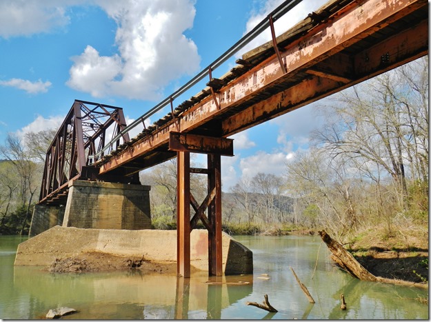
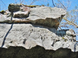
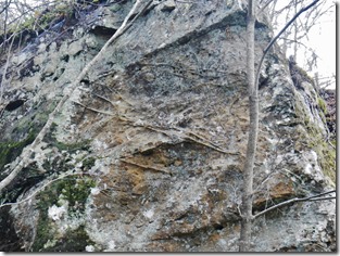
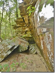
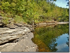
Well, this is the last week of field work for the 2013-14 season. Of course, there’s always more one would like to have a look at, but we have to stop sometime. On Monday, we started down by the M&NA railroad bridge at Shirley. The big fault that makes the SW/NE lineation goes through here somewhere, but it’s difficult to say where exactly. There are lots of non-vertical joints and deformation bands in the area, which are all good fault signs, but nothing very definitive. The area north of the bridge is about as thick as it could possibly be with greenbriers –only passable with much effort and many scratches. We saw very thick-bedded sandstone there which we took for Witts Springs that day, but when we came back on Wednesday, we decided it may be north of the fault, and therefore would be Imo. We have Imo across the valley, so it’s not out of the question to have it here, but it may be just a relatively thin slice. There are many cut and fill channel beds there, some of them with very nice soft-sediment deformation at the margins.
On Tuesday we finished up some loose ends in the northwest corner of the Shirley quad. After we climbed way down in a hollow that had an old tornado track going through it, Danny realized he had lost his camera somewhere. We hiked back up to the Jeep to see if it was there (it wasn’t), then retraced our steps from earlier that morning. Still nothing. He remembered the last time he had used it was in that horrible briar patch the day before, so after we climbed out again, we headed back there. Sure enough, in the thickest part of the patch, where he had been practically crawling to get through, a briar had reached in his carrying case and pulled it out. It was still dangling there about a foot off the ground right on the river bank. At least we got it back!

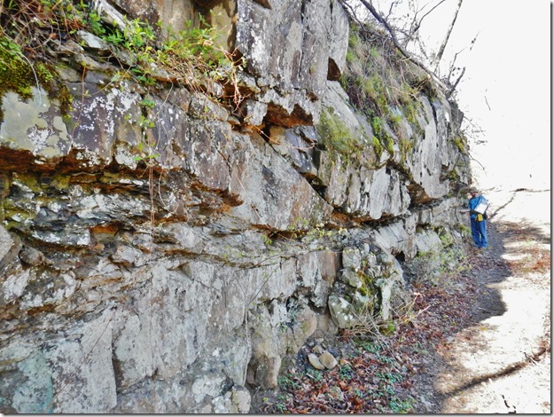 On Tuesday afternoon, we went down a drainage on the west side of Middle Fork looking for more signs of a fault we have traced from the Old Lexington quad. We definitely found a lot of deformation bands in the Witts Springs massives down there and figure there might be as much as 80 feet of throw on the fault.
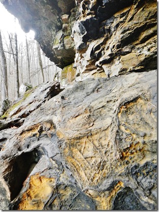
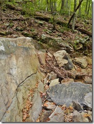
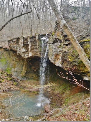 Wednesday was our last day in the field this year, and we spent most of our time on the Middle Fork just north of Shirley where we had left off on Monday. Did look like the fault goes through there because we found very-thick bedded massives on the north side (Imo) and shale interbedded with very thin-bedded sandstone on the south side (Cane Hill). Our last couple of hours we spent getting points in several road cuts in and around Shirley. We took a final photo in front of the town sign.
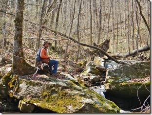
 This will be Danny’s last year out in the field with me, so I’d like to take this opportunity to thank him for putting up with me and the sometimes horrendous field conditions we’ve faced together the last five years. Looks like I’ll have to break in a new field partner next year, so should be interesting. Now comes the time of year when we have to sit in the office and draw the maps, create the layouts, and finish the database, all to be turned in to the USGS by June 30. It seems like a long time, but we’re always editing down to the last minute. By the time we make it back out in the field, it will be mid-July, so the ticks and snakes will be out in full force, it will be nice and hot, and all the vegetation will be full grown. At least that gives us something to look forward to. Until then, I’ll see you in the office. After that, I’ll see you on the outcrop!

